
If you are planning a trip to Ningaloo Station or anywhere along the Ningaloo Coast, cyclone season is something you need to understand before you book, not after. This is a remote stretch of coast with no drinking water, no phone coverage at most camps and long dirt tracks between you and the highway. When the weather turns, it turns fast, and the safest place to be is somewhere else.
This guide covers when cyclone season runs, how the warning system works, what happened when Severe Tropical Cyclone Narelle crossed the North West Cape in March 2026, the current state of the Ningaloo Station campgrounds, and the practical steps to keep yourself safe.
The Short Version
- Cyclone season in WA’s North West runs from November to April. On the Ningaloo Coast the highest risk months are February and March.
- Every campground in Nyinggulara National Park (the Ningaloo Station camps at Janes Bay, North Lefroy, South Lefroy Bay, Point Billie and Winderabandi) was heavily damaged by Cyclone Narelle and remains closed with no confirmed reopening date.
- If a cyclone is forecast to affect the region, leave early. Do not wait it out in a tent, camper or caravan on the coast.
- Before every trip, check Park Alerts, Emergency WA, the Bureau of Meteorology and the Main Roads WA travel map.
When Is Cyclone Season?
The Department of Fire and Emergency Services (DFES) puts the North West cyclone season at November to April, although cyclones have formed outside those months. The North West averages around five cyclones a season, with one or two crossing the coast as severe tropical cyclones.
For the Ningaloo Coast specifically, the practical window is mid-December to April, with February and March the peak. That lines up with history: Cyclone Vance hit Exmouth in March 1999 with a wind gust of 267 km/h, still the highest gust ever measured on the Australian mainland, and Cyclone Narelle crossed near Exmouth in late March 2026.
The good news for most travellers is that the busiest camping months on the Ningaloo Coast (April to October) sit almost entirely outside the danger period. The dry season brings the whale sharks, the calm mornings and the mild days that make this coast famous. If you are booking a shoulder-season trip for November or March, though, you are inside the window and need to plan for it.
What Happened in March 2026: Cyclone Narelle
Severe Tropical Cyclone Narelle formed east of Cape York in mid-March 2026, crossed Cape York and the Top End, then tracked along the Kimberley and Pilbara coast before making its final landfall near Exmouth on 27 March as a severe tropical cyclone. It arrived right at the start of the Easter holidays.
The impact on the region was severe:
- More than 200 buildings in Exmouth were damaged, the town flooded, the marina was wrecked and Learmonth Airport was put out of action.
- Coral Bay and Onslow also suffered significant damage, and Onslow lost much of its water supply.
- The North West Coastal Highway between Carnarvon and Exmouth was cut by flooding, isolating the town for days.
- Beaches along the North West Cape were littered with dead turtles, seabirds and marine mammals, and scientists fear the swell damaged sections of the reef during its first coral spawning since the 2025 marine heatwave.
- All three towns closed to visitors and accepted only essential workers while services were restored.
The Shire of Exmouth reopened to visitors on 8 April 2026 and roads across the Coral Coast reopened by 10 April. Learmonth Airport and Qantas flights resumed soon after. The town has been in recovery mode since, and accommodation has been tight, so confirm your booking with your provider before you drive up.
What It Means for Ningaloo Station Campgrounds Right Now
This is the part most people reading this page want to know.
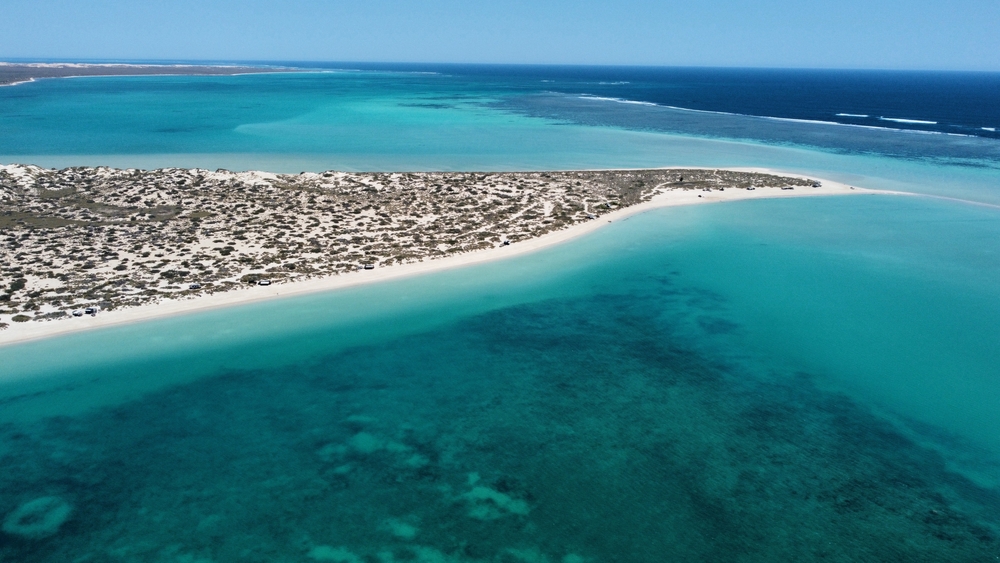
All five campgrounds in Nyinggulara National Park are closed. Janes Bay, North Lefroy, South Lefroy Bay, Point Billie and Winderabandi all sustained significant damage and require complete rebuilding. The park’s radio tower was also destroyed, which means there are currently no emergency communications in the park. The Parks and Wildlife Service has said there is no estimated time for reopening, and these campgrounds were not released for booking in the 1 September 2026 release. An announcement will be made when a reopening date can be confirmed.
Bookings for these campgrounds were cancelled through to 25 September 2026 and affected campers were contacted by email. If you held a booking and have not heard anything, check My Bookings on Park Stay WA or call the Exmouth Parks and Wildlife office on (08) 9947 8000.
Elsewhere on the coast:
- Cape Range National Park: 311 campsites across the Ningaloo Coast reopened on 27 April 2026. Boat Harbour and One K stayed closed longer while access was restored, so check the alerts page for their current status. Bungarra, North Mandu and Tulki Beach will close for the low-demand season from 1 November 2026 and reopen on 15 March 2027.
- Warroora Coast (Nyinggulu Coastal Reserves): Most campgrounds are open. Campsites 12 to 28 at 14 Mile were badly damaged and need to be relocated and rebuilt, and the whole of 14 Mile Campground will close for works from Thursday 29 October 2026.
- Day use areas and public moorings in the reserves remain open, and commercial tour operators out of Exmouth and Coral Bay are running.
The single best source for live closures is alerts.dbca.wa.gov.au. Check it the week before you leave and again the day you drive in. You can browse all the campgrounds along the coast on our Locations page.
How the WA Warning System Works
Since July 2024, Western Australia has used the three-level Australian Warning System for cyclones, replacing the old blue, yellow and red alerts. You will see these on Emergency WA, ABC local radio and the DFES app.
- Advice: A cyclone is active in the region. Be aware and keep up to date.
- Watch and Act: There is a possible threat to your area. Take action now to stay safe. For a camper on the Ningaloo Coast, this is the point to pack up and leave.
- Emergency Warning: There is a threat to lives and homes. You may be in danger and need to take immediate action.
The Bureau of Meteorology issues the technical cyclone outlooks, watches and warnings that sit behind these alerts. During the season it is worth checking the BoM tropical cyclone outlook every couple of days.
Why You Leave Early on This Coast
DFES is blunt about it: it is not safe to travel by caravan, motorhome or camper through an area that may be impacted by a cyclone, and you should not camp in areas under threat. Relocate early if the forecasts predict impact.
At Ningaloo Station that advice matters more than almost anywhere else in the state, for a few reasons.
There is no phone coverage at most of the camps, and the park radio tower is currently out of action. Once you are on the coast you may not receive updated warnings at all, so you have to make your decisions before you lose contact.
The access tracks are unsealed sand and gravel. Heavy rain turns them to mush and cuts them off, sometimes for days, and the North West Coastal Highway itself flooded during Narelle. If you wait until the rain starts, you may not be able to get out.
The campgrounds are exposed. There are no buildings, no shelters and no facilities. A tent, rooftop tent or camper trailer offers no protection against cyclonic winds or storm surge, and low-lying beachside sites are exactly where the water goes.
Help is a long way off. The Ningaloo Station camps sit at the end of long unsealed tracks, a good distance from both Exmouth and Coral Bay, and during a cyclone emergency services will be dealing with the town first.
The rule is simple. If a cyclone watch or warning is issued for the Exmouth to Ningaloo area while you are there, pack up and head for Exmouth or Carnarvon while the roads are still open. If one is issued before you leave home, postpone the trip. Roads, fuel and accommodation will all be disrupted, and the park may well be closed anyway.
Preparing for a Shoulder-Season Trip
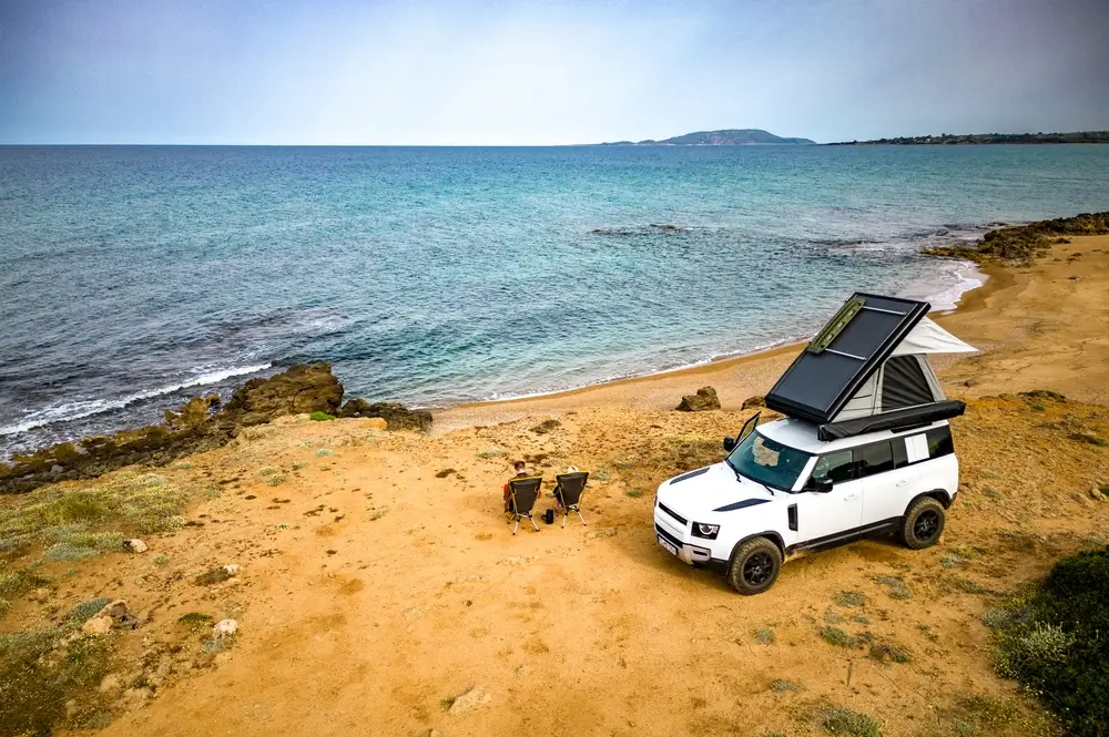
If you are camping between November and April, build your trip around the possibility of having to leave.
- Check the BoM tropical cyclone outlook and Emergency WA before you leave home, and again at Exmouth or Carnarvon before you lose reception.
- Carry a personal locator beacon (PLB). The Parks and Wildlife Service recommends one for the whole Ningaloo Coast, and with no radio tower in the park it is your only reliable link to rescue.
- Consider a satellite messenger or satellite phone so you can receive weather updates on the coast.
- Take a battery or wind-up radio and tune to ABC local radio for emergency broadcasts.
- Carry more water than you think you need. There is no drinking water anywhere in the reserve, and DFES recommends having supplies for five days in any cyclone-prone area.
- Keep your fuel tank at least half full at all times so you can get back to town without refuelling. See our guide to where to fuel up on the way to and from Ningaloo Station and how much fuel you need.
- Keep your camp packed down as much as practical. A camp that can be on the road in 30 minutes is a camp that can leave in time.
- Tell someone your itinerary and when you expect to be back in phone range.
Other Important Information for Nyinggulara National Park
Cyclones aside, the Parks and Wildlife Service park page sets out a few rules and warnings that every visitor should know before arriving.
Toilets and water. There are no toilets at any of the campgrounds. You must bring a portable, self-contained toilet that is approved for use in Australia and can be emptied at a dump point. There is no drinking water in the reserve, so carry enough for drinking and washing for your whole stay.
Bookings. Bookings are essential and must be made before you arrive through Park Stay WA. Fees are charged per person. The maximum stay is 14 nights if any night falls in WA school holidays, otherwise 28 nights. Ningaloo Coast campsites are released monthly, with each month’s campsites opening at 10am AWST on the first Tuesday of the month, about six months ahead. The monthly release replaced the old 180-day window and was adopted permanently in September 2026. Our booking release dates guide explains how it works, and our campground status page is kept up to date with closures.
Park entry. There is no park entry fee for Nyinggulara National Park.
Dogs. Dogs are permitted in designated areas only and must be on a leash at all times. Be aware that the Parks and Wildlife Service lays 1080 poison baits in and around the park on an ongoing basis to control feral cats and foxes. 1080 will kill domestic dogs and cats, so keep pets under close control.
Water safety. Strong currents run through the waters of Ningaloo Marine Park and some areas are particularly hazardous in certain conditions. It is your responsibility to judge whether your swimming and snorkelling experience is up to the conditions. If in doubt, don’t go out.
Boats and vehicles. Boat launching is permitted from the beach at Point Billie, South Lefroy Bay and Winderabandi, but soft sand can make launching larger boats impossible. Four-wheel drive is needed for beach access, so read our guide to choosing the right vehicle. Private unlicensed ATVs, quad bikes and other off-road vehicles are not allowed in the reserve.
Traditional Owners. Nyinggulara National Park and the adjoining Ningaloo Marine Park are jointly managed with the Baiyungu, Thalanyji and Yinigurdira people, the Traditional Owners of this country.
Key Contacts and Links
- Park alerts and closures: alerts.dbca.wa.gov.au
- Camping bookings: parkstay.dbca.wa.gov.au
- Emergency warnings: emergency.wa.gov.au
- Weather and cyclone warnings: bom.gov.au
- Road conditions: Main Roads WA travel map
- Exmouth Parks and Wildlife office: (08) 9947 8000
- Milyering Discovery Centre (Cape Range): (08) 9947 8070, open 9am to 3.45pm daily
- Life-threatening emergency: 000 (where there is coverage) or activate your PLB
The Bottom Line
The Ningaloo Coast will recover from Narelle the same way it recovered from Vance, but the rebuild of the Ningaloo Station campgrounds will take time. We will update this page and our locations pages as soon as the Parks and Wildlife Service confirms a reopening date. In the meantime, Cape Range and the Warroora Coast are open, Exmouth and Coral Bay are welcoming visitors again, and the reef is still there.
Whenever you come, treat cyclone season with respect: check the warnings before you go, carry the gear to look after yourself, and be ready to leave early. And if you are working out the drive up, our Great Australian Travel Calculator will help you plan fuel and distances.
Want to Stay at Ningaloo station?
Use our Travel Calculator
More Locations
Check out the rest of the Locations available
14 Mile Beach Camp
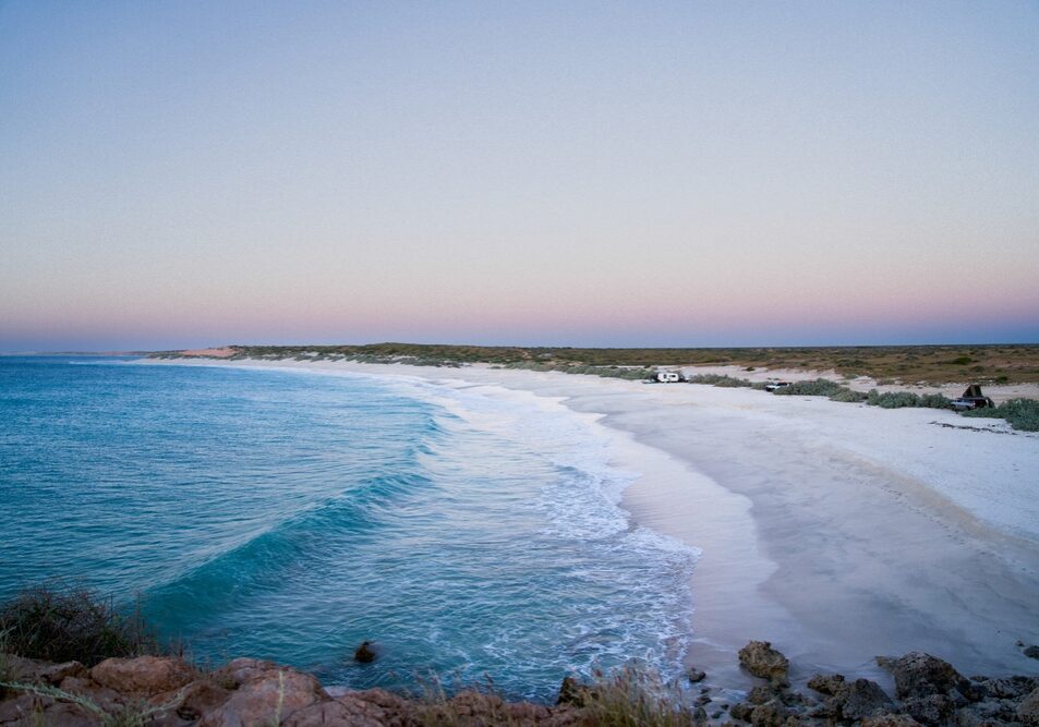
14 Mile Beach Camp is a remote, off-grid beachfront campground near Coral Bay with white sand, turquoise water, big skies and epic sunsets.
It’s dog-friendly (on lead) and well-priced, but you need to arrive prepared because there are no toilets, showers, or water on site.
Boat Harbour Campground
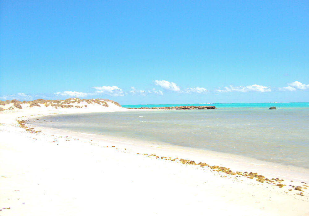
Secluded 4WD-access campground with basic amenities near Ningaloo Marine Park.
Bruboodjoo Campground
Bruboodjoo Campground is a large, off-grid coastal camping area north of Coral Bay suited to self-contained travellers, especially fishers and boat owners.
Expect big open sites, beach launching access, and a remote feel rather than structured campground facilities.
Bungarra Campground
Bungarra Campground is a small inland campground set slightly back from the shoreline, offering a quieter and more sheltered stay than the beachfront sites.
With only a handful of camps and a short walk to the water, it suits travellers who want proximity to the coast without being directly exposed to wind and salt.
Janes Bay Campground
Janes Bay Campground is a remote coastal campsite suited to travellers who want space, simplicity and a proper off-grid stay.
There are no built facilities, just open camps, ocean views and plenty of wind. The journey in can be rough, so it’s best suited to well-prepared campers with capable vehicles and everything they need on board.
Kurrajong Campground (Cape Range)
Kurrajong Campground is a quieter Cape Range campground with easy dune access to the water, clean facilities and a laid-back feel.
It’s a solid choice for travellers who want a more peaceful base, simple amenities, and quick access to swimming and reef time.
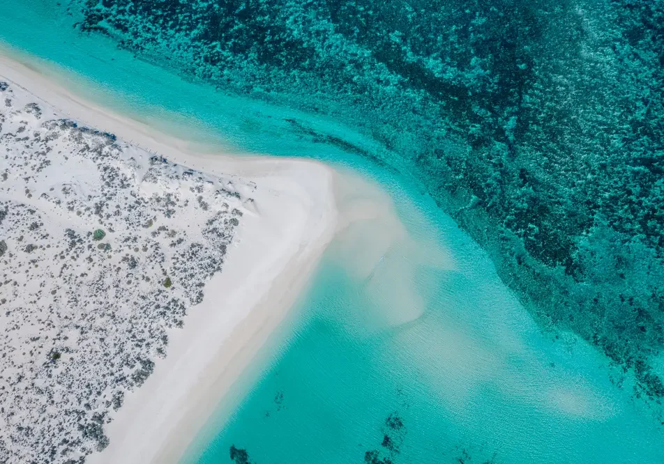
Mesa Camp
Mesa Campground is a popular coastal campground with spacious sites, beach access and easy launching for small boats.
Facilities are simple but well maintained, and some sites have shade. Generators are permitted during set hours.
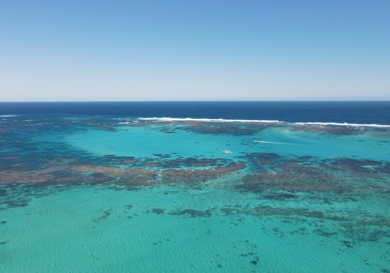
Neds Campground
Neds Campground is a small, peaceful campground tucked behind the dunes with a short walk to a quiet swimming beach and excellent sunset views.
Sites are spacious, some with tree cover, and facilities are simple but well maintained.
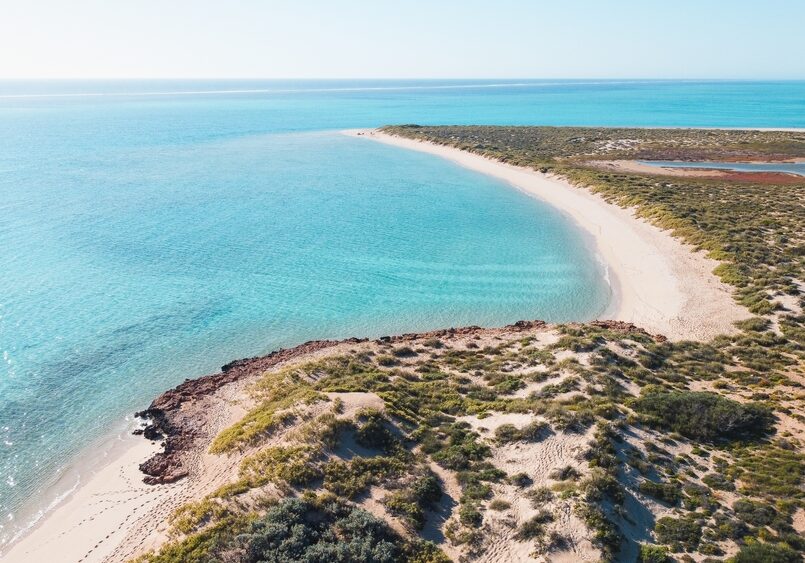
North Kurrajong & T-Bone Campground (Cape Range)
North Kurrajong Campground is a spacious coastal campground set just behind the dunes with easy access to reef and swimming areas.
Facilities are basic but well maintained, and the location is known for wildlife sightings, snorkelling and peaceful surroundings.
Best suited to self-sufficient travellers wanting nature, quiet and proximity to the reef rather than a serviced camping area.
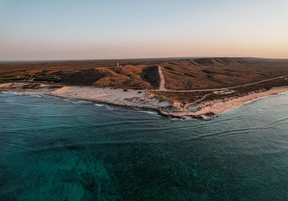
North Lefroy Campground
North Lefroy is a spacious beachfront campground with large private sites and excellent access to fishing and boating.
Facilities are basic and the access track can be rough and sandy, so a capable 4WD and lowered tyre pressures are essential.
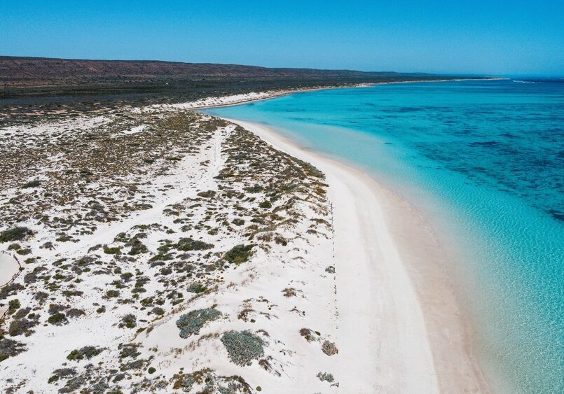
North Mandu Campground
North Mandu is a small, secluded campground with only a handful of sites tucked behind the dunes.
Facilities are simple but generally well maintained, and the location offers peaceful camping close to some of the best beaches and snorkelling areas in Cape Range.
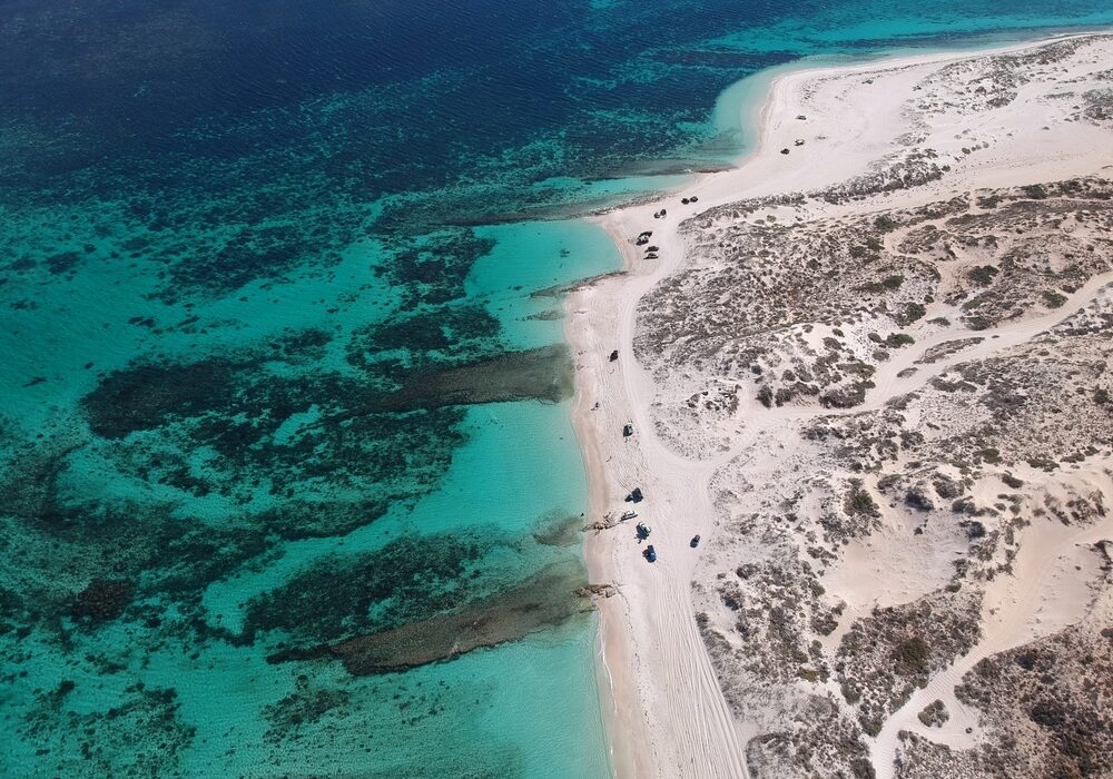
One K Campground
One K is a quiet and remote campground suited to self-sufficient travellers looking for space and solitude.
Facilities are basic and access requires some preparation, including lowering tyre pressures before arrival.
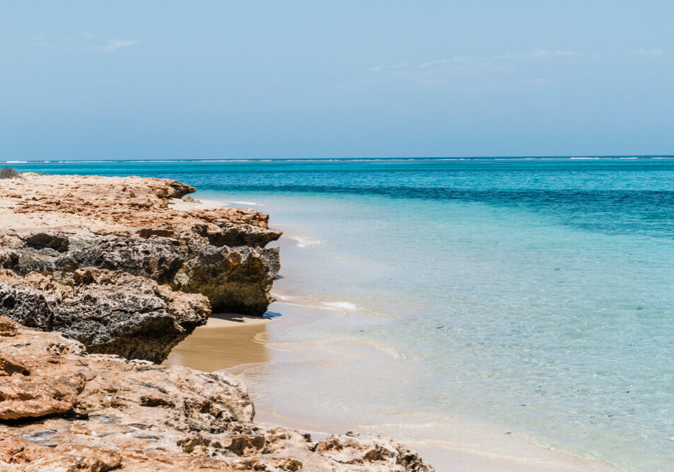
Osprey Bay Campsite
Osprey Bay Campsite is one of the standout campgrounds on the Ningaloo coast, with big, well-spaced sites right by the water, spotless long-drop toilets, and unreal snorkelling straight off the beach.
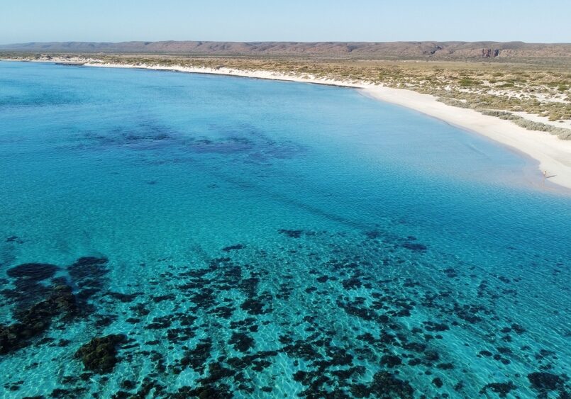
Point Billie Campground
Point Billie Campground is a big, off-grid Ningaloo Station campground best suited to boaters and fishos, with huge sites, cracking sunsets, and plenty of wildlife. Expect wind, exposure and a rough corrugated 4WD approach.
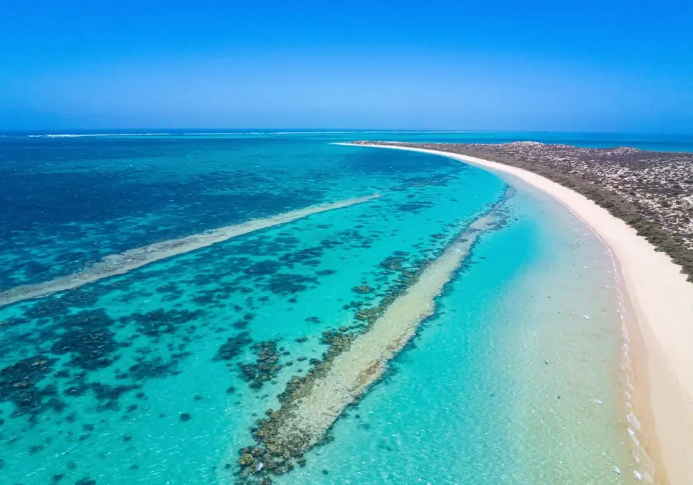
Sal Salis Ningaloo Reef
Sal Salis offers an exclusive, eco-luxury safari camp set within the dunes of Cape Range National Park, overlooking Ningaloo Reef.
With just 16 wilderness tents and one honeymoon tent, the experience blends barefoot comfort with guided nature-based activities and all-inclusive hospitality in a remote coastal setting.

South Lefroy Bay Campground
South Lefroy Bay Campground is a seriously special Ningaloo Station beach camp with clear, calm turquoise water and reef access straight off the sand.
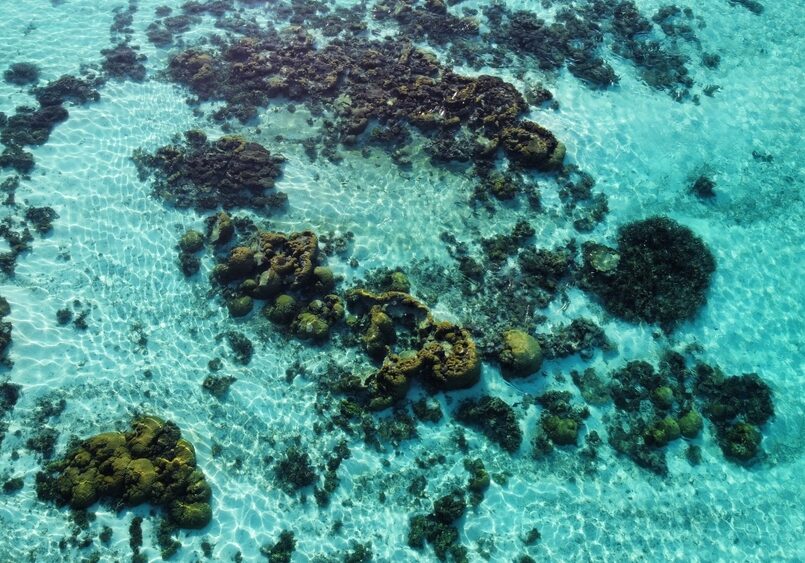
Stans Camp (Overflow Camp)
A basic Ningaloo Station overflow campground sitting inland from the reef line. It’s open, exposed and self-contained only, often used when nearby beachfront camps are full.
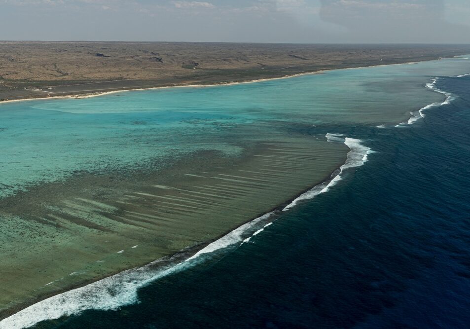
The Ridge Campground
Remote bush campground south of Coral Bay with unpowered sites and basic facilities.
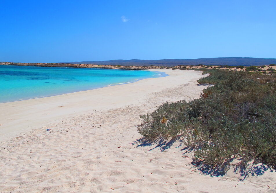
Tulki Beach Campground
Tulki Beach Campground is a small, well-kept Cape Range National Park campground known for its peaceful feel and proximity to some of Ningaloo’s best snorkelling areas.
Not directly on the reef edge, but close enough to paddle or walk to the water with ease.
Winderabandi Point Campground
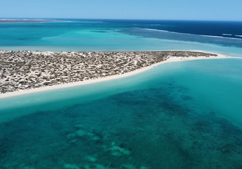
Winderabandi Point Campground is a remote beachfront campground on Ningaloo Station offering one of the most immersive reef and wildlife experiences along the coast.
Expect true off-grid camping, soft sand access and wide-open ocean views. It rewards preparation – and punishes complacency.
Yardie Creek Campground
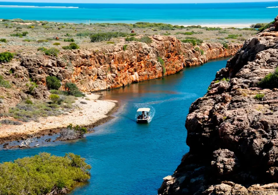
Yardie Creek Campground is a small, beachside Cape Range National Park campground near the Yardie Creek gorge walks. People rate it highly for the location, sunsets, stargazing and the camp host vibe, but it’s basic and books out fast.
Bring water, expect long-drop toilets, and plan around the creek crossing if travelling south.