
Closed until further notice
All campsites in all campgrounds in Nyinggulara National Park (Janes Bay, North Lefroy, Point Billie, South Lefroy Bay and Winderabandi) are closed until further notice following Severe Tropical Cyclone Narelle. Bookings for closed campsites are unavailable on Park Stay WA until the Parks and Wildlife Service confirms a reopening date.
See our campground status page for the latest updates and the best places to camp instead. Last checked against Park Stay WA: 2 November 2026.
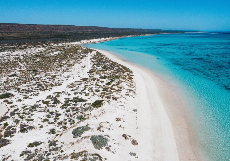
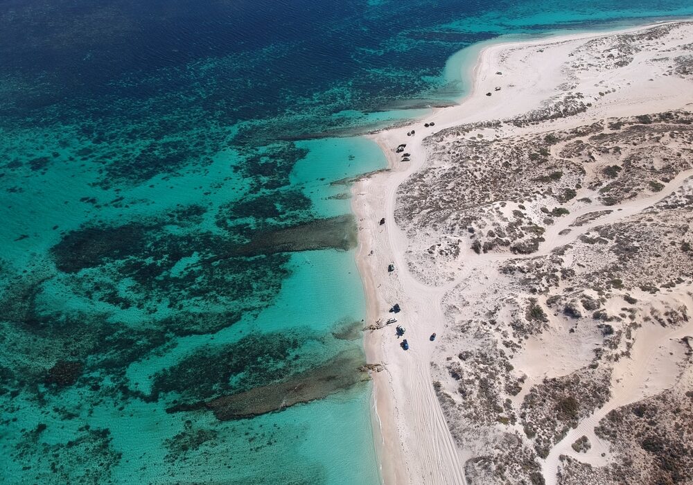
South Lefroy is a large coastal campground with direct access to the recreation zone of Ningaloo Marine Park. It’s one of the most expansive sites in the park, offering a wide choice of unpowered campsites for 4WD campers, including access for small boat and kayak launching from the beach.
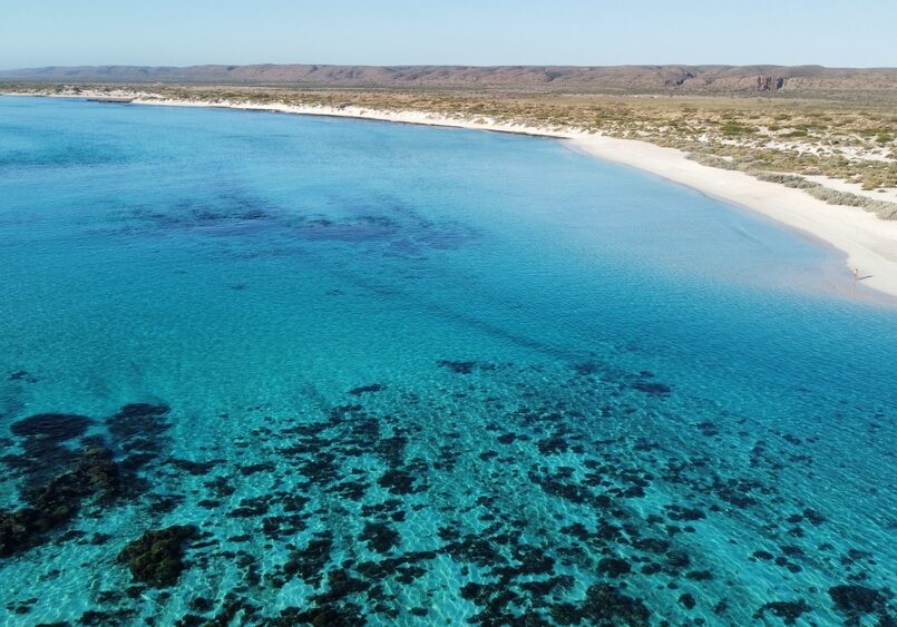
South Lefroy Bay Campground is a seriously special Ningaloo Station beach camp with clear, calm turquoise water and reef access straight off the sand. It’s a favourite for snorkelling, fishing and boating, with big, well-spaced sites and unreal sunsets, but it’s also properly remote and rough to reach.
Overview
- Online bookings are essential and must be made in advance
- Each booking is for one campsite only – groups must book separately
- Bookings can be made:
- Released monthly: bookings for each month open at 10am AWST on the first Tuesday of the month, about six months ahead (see our booking release dates guide)
- On the day of arrival (subject to availability and mobile service)
- Stay limits:
- Up to 14 nights during WA public school holidays
- Up to 28 nights at other times
- Tour operators and outdoor education groups must book via Milyering Discovery Centre
Video Guide
Interactive Satellite Map
Why Stay at South Lefroy Bay Campground?
- One of the largest beachside camping areas on the Ningaloo Coast
- Offers flexible space and beach launching for small boats and kayaks
- A great option for long stays and remote coastal exploration
What Visitors Say About South Lefroy Bay Campground
The best bits
- Reef on the doorstep: People talk about stepping straight into the water for snorkelling, drift snorkelling, spearfishing and fishing.
- Wildlife sightings from shore: Multiple visitors mention giant turtles, plus dolphins, rays and sharks.
- Big sites, good spacing: Plenty of comments about generous sites and privacy, with some beachfront options and others tucked near dunes for a little wind protection.
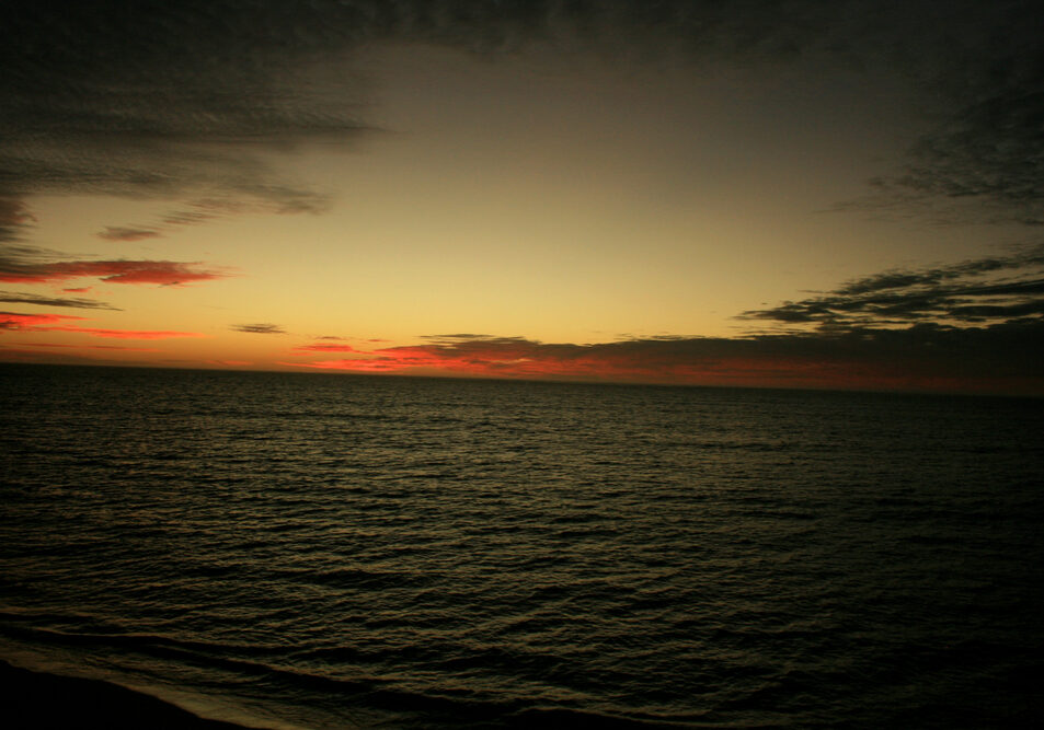
- Views for days: White sand, crystal-clear water, Cape Range views, and sunsets that get mentioned over and over.
Things to Know Before You Go
It’s not an “easy access” camp
- The road in is the main complaint: Heavily corrugated, sandy, and long enough that people recommend lowering tyre pressures (one review mentions 18 psi).
- Secure everything: A few people mention gear rattling loose and even plumbing/roof rack issues from the corrugations.
Facilities are basically none
- Fully self-sufficient required: Expect no toilets/showers, and reviews consistently mention needing a chemical toilet.
- No reception: Several reviews mention no Telstra.
- No bins: Take rubbish out, and expect a dump point nearby (often referenced as part of the wider Ningaloo Station setup).
Wind and pests can be part of it
- Windy at times: Common note, although some say dunes give partial shelter.
- Mice and flies: At least a couple of mentions, depending on season.
Best Fit For
Off-grid campers who are happy to be self-contained and want reef time, wildlife sightings, and wide-open Ningaloo coastal camping, especially if a beachfront site is on the cards.
Might Not Suit If
You want easy access, amenities, reliable phone reception, or a guaranteed quiet experience (generators/noise can travel in flat open areas).
South Lefroy Bay Campground Map – Ningaloo Coast World Heritage Area
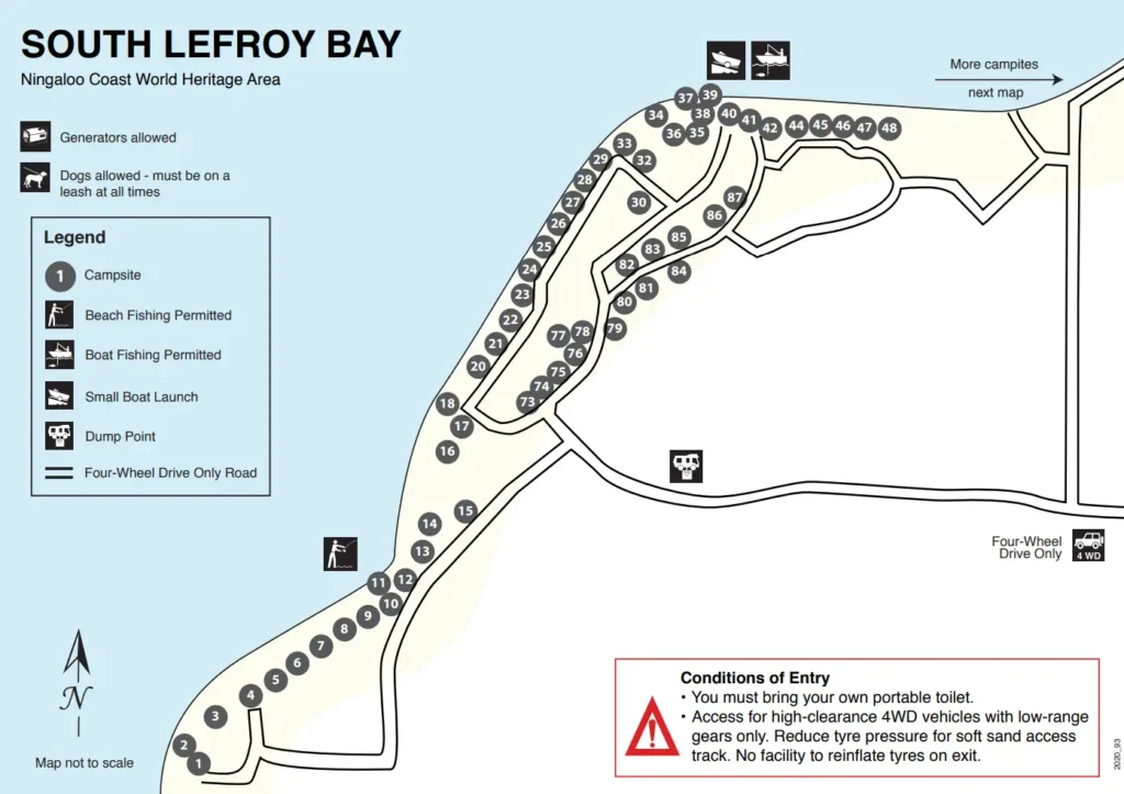
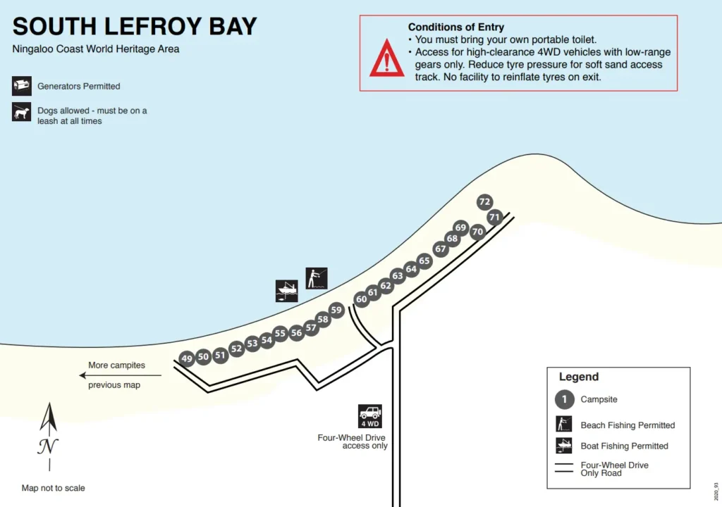
Site Details
Campsites
- 87 unpowered campsites of various sizes, surfaces, and distances from the beach
- Some campsites are located on soft sand – suitable for high-clearance 4WDs only
- Several sites are not suitable for large caravans due to narrow access
- Refer to the campground map and site descriptions before booking
Facilities
- A chemical toilet dump point is the only facility
- Campers must bring:
- A sealed-unit chemical or composting toilet
- All waste disposal bags and equipment – no bins provided
- Drinking water and personal hygiene supplies (none provided)
Campground Rules
- Bag-style portable toilets are not permitted
- Waste must not be buried – dump point is for chemical toilet waste only
- Composting toilet waste must be removed from the park
- Campfires permitted only in self-contained fire rings and only when conditions allow
- Fires banned on days of HIGH fire danger or above – check Emergency WA
- Firewood must be brought in – collection from the park is not allowed
- Dogs allowed on lead
- Generators are permitted
- ATVs, quad bikes and other unlicensed off-road vehicles are not permitted
Fees
- A per-person camping fee applies
- No vehicle entry fee is charged for Nyinggulara National Park
- Payment must be made online via Mastercard or VISA
- No booking fee
- Changes or cancellations may incur a fee, especially during peak periods:
- 10–26 April 2027
- 3–18 July 2027
- 25 September – 10 October 2027
Access and Location
- 99 km north of Coral Bay
- Access is for high-clearance 4WDs with low-range gearing only
- Reachable via:
- Cardabia–Ningaloo Road from the south (via Coral Bay or Bruboodjoo)
- Yardie Creek Road from the north (tidal creek crossing required – not always passable)
- Yardie Creek crossing involves soft, shifting sand and should only be attempted with experience and suitable vehicles
- Tyre pressure must be reduced for sand access – no reinflation station on site
- Use the Main Roads WA Travel Map for route planning
Safety and Preparation
- No water, power, or hygiene facilities available
- Prepare for:
- Extreme heat (December to April)
- Cyclone risk (November to April)
- Storms (May to October)
- Bring adequate supplies including water, food, fuel, medical kits, and weather-appropriate clothing
- Check Emergency WA for fire danger ratings and alerts before travelling
Want to Stay at South Lefroy Bay Campground?
More Beautiful Locations
More Locations
Check out the rest of the Locations available
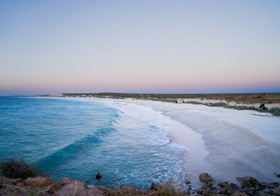
14 Mile Beach Camp
14 Mile Beach Camp is a remote, off-grid beachfront campground near Coral Bay with white sand, turquoise water, big skies and epic sunsets.
It’s dog-friendly (on lead) and well-priced, but you need to arrive prepared because there are no toilets, showers, or water on site.
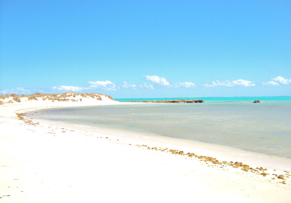
Boat Harbour Campground
Secluded 4WD-access campground with basic amenities near Ningaloo Marine Park.
Bruboodjoo Campground
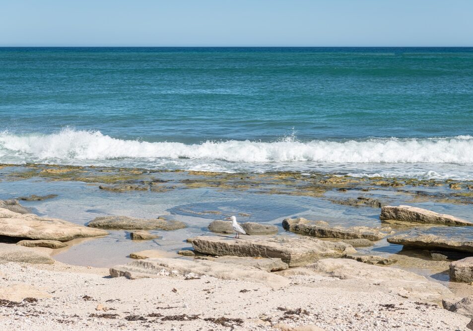
Bruboodjoo Campground is a large, off-grid coastal camping area north of Coral Bay suited to self-contained travellers, especially fishers and boat owners.
Expect big open sites, beach launching access, and a remote feel rather than structured campground facilities.
Bungarra Campground
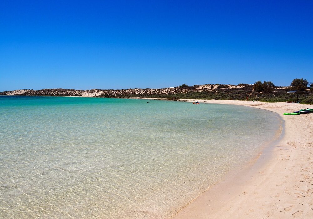
Bungarra Campground is a small inland campground set slightly back from the shoreline, offering a quieter and more sheltered stay than the beachfront sites.
With only a handful of camps and a short walk to the water, it suits travellers who want proximity to the coast without being directly exposed to wind and salt.
Janes Bay Campground
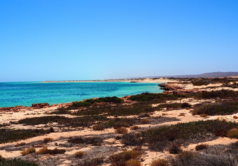
Janes Bay Campground is a remote coastal campsite suited to travellers who want space, simplicity and a proper off-grid stay.
There are no built facilities, just open camps, ocean views and plenty of wind. The journey in can be rough, so it’s best suited to well-prepared campers with capable vehicles and everything they need on board.
Kurrajong Campground (Cape Range)
Kurrajong Campground is a quieter Cape Range campground with easy dune access to the water, clean facilities and a laid-back feel.
It’s a solid choice for travellers who want a more peaceful base, simple amenities, and quick access to swimming and reef time.
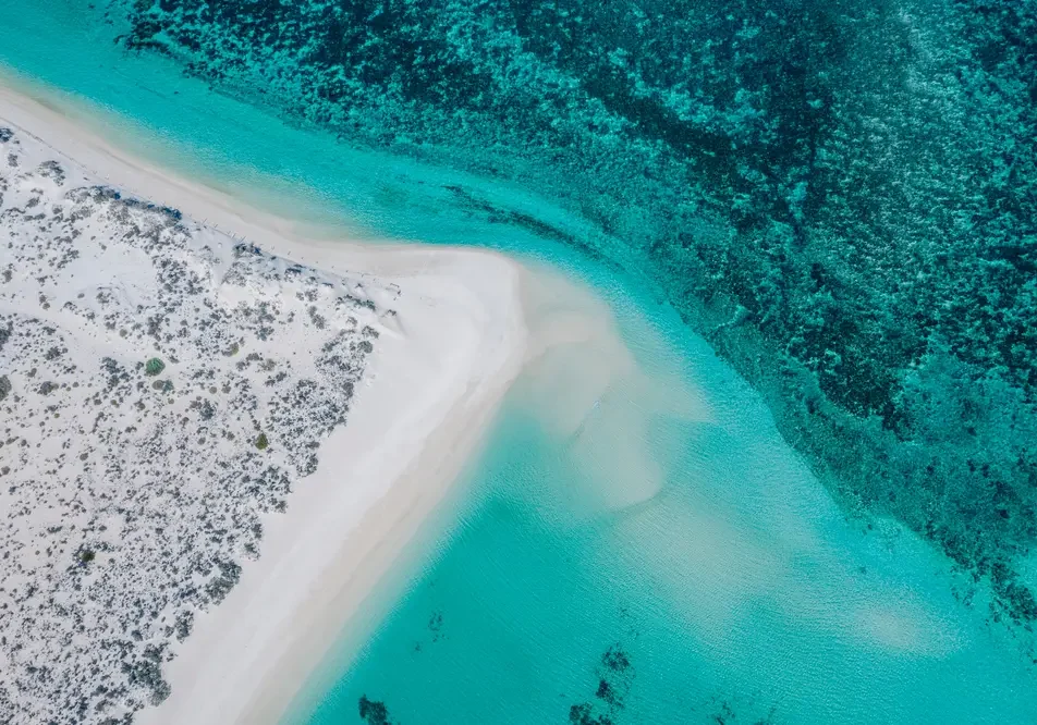
Mesa Camp
Mesa Campground is a popular coastal campground with spacious sites, beach access and easy launching for small boats.
Facilities are simple but well maintained, and some sites have shade. Generators are permitted during set hours.
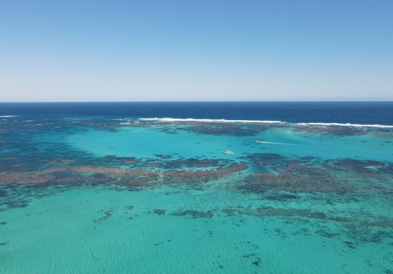
Neds Campground
Neds Campground is a small, peaceful campground tucked behind the dunes with a short walk to a quiet swimming beach and excellent sunset views.
Sites are spacious, some with tree cover, and facilities are simple but well maintained.
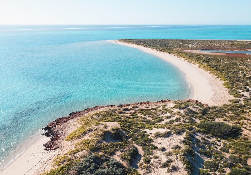
North Kurrajong & T-Bone Campground (Cape Range)
North Kurrajong Campground is a spacious coastal campground set just behind the dunes with easy access to reef and swimming areas.
Facilities are basic but well maintained, and the location is known for wildlife sightings, snorkelling and peaceful surroundings.
Best suited to self-sufficient travellers wanting nature, quiet and proximity to the reef rather than a serviced camping area.
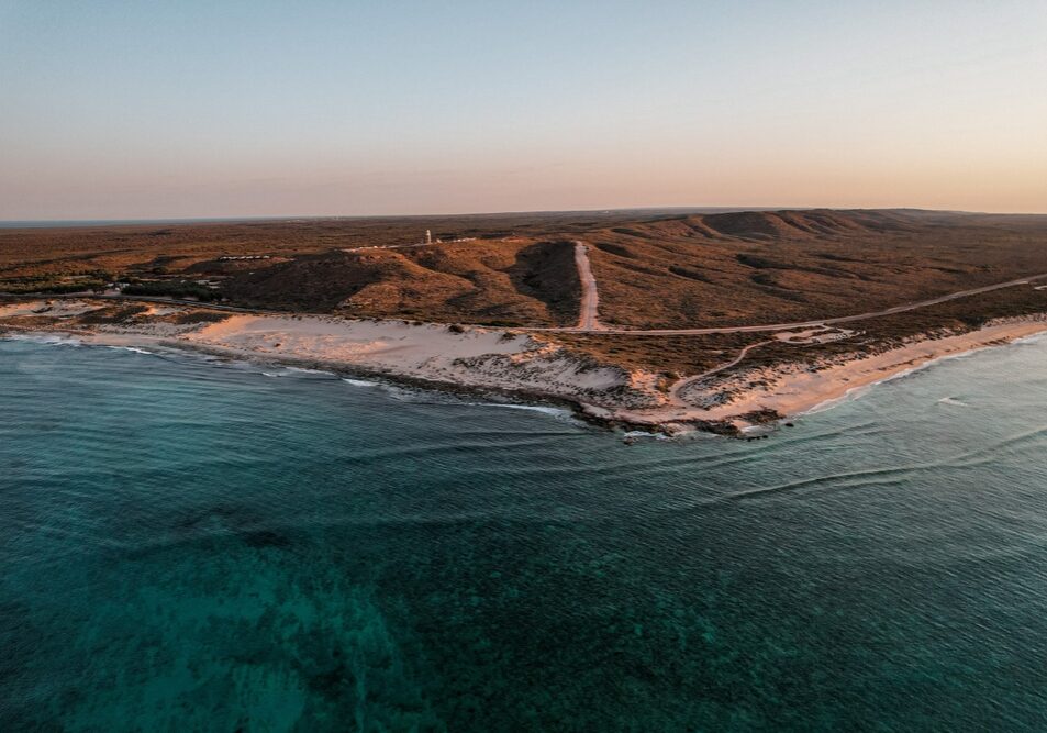
North Lefroy Campground
North Lefroy is a spacious beachfront campground with large private sites and excellent access to fishing and boating.
Facilities are basic and the access track can be rough and sandy, so a capable 4WD and lowered tyre pressures are essential.
North Mandu Campground
North Mandu is a small, secluded campground with only a handful of sites tucked behind the dunes.
Facilities are simple but generally well maintained, and the location offers peaceful camping close to some of the best beaches and snorkelling areas in Cape Range.
One K Campground
One K is a quiet and remote campground suited to self-sufficient travellers looking for space and solitude.
Facilities are basic and access requires some preparation, including lowering tyre pressures before arrival.
Osprey Bay Campsite
Osprey Bay Campsite is one of the standout campgrounds on the Ningaloo coast, with big, well-spaced sites right by the water, spotless long-drop toilets, and unreal snorkelling straight off the beach.
Point Billie Campground
Point Billie Campground is a big, off-grid Ningaloo Station campground best suited to boaters and fishos, with huge sites, cracking sunsets, and plenty of wildlife. Expect wind, exposure and a rough corrugated 4WD approach.
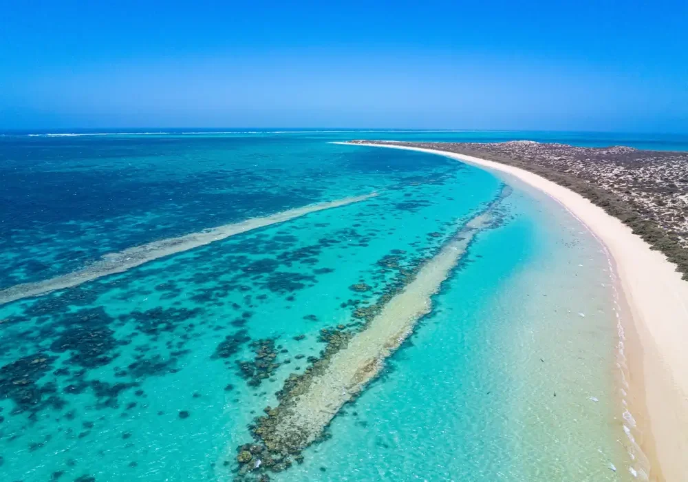
Sal Salis Ningaloo Reef
Sal Salis offers an exclusive, eco-luxury safari camp set within the dunes of Cape Range National Park, overlooking Ningaloo Reef.
With just 16 wilderness tents and one honeymoon tent, the experience blends barefoot comfort with guided nature-based activities and all-inclusive hospitality in a remote coastal setting.
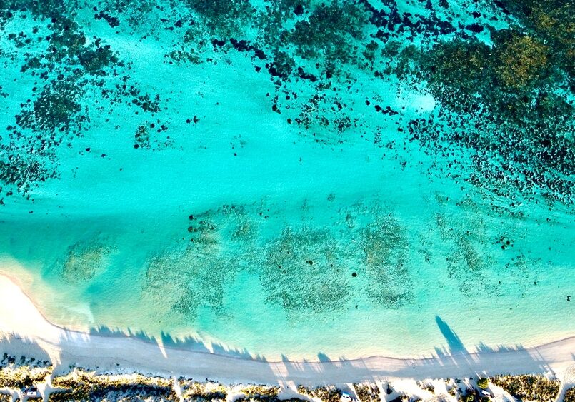
South Lefroy Bay Campground
South Lefroy Bay Campground is a seriously special Ningaloo Station beach camp with clear, calm turquoise water and reef access straight off the sand.
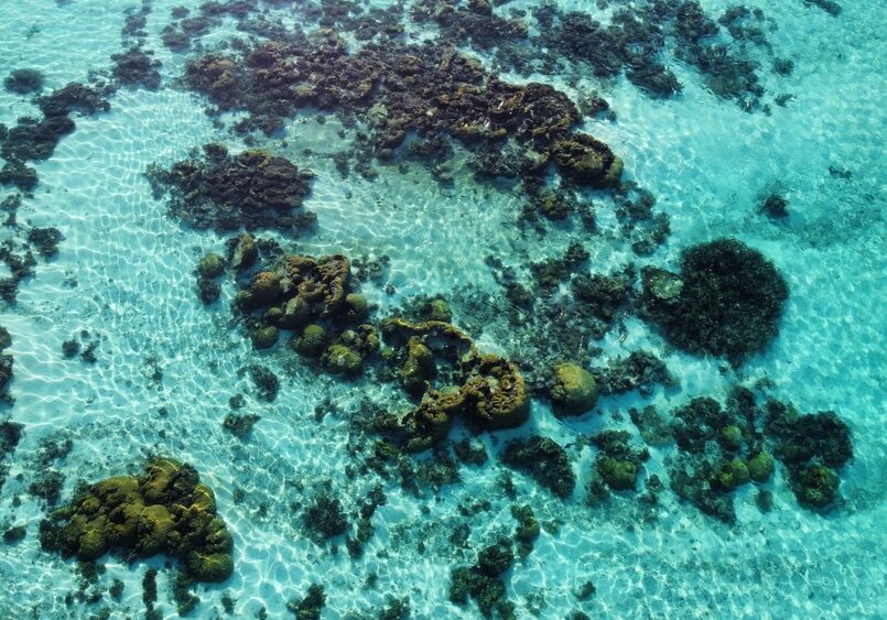
Stans Camp (Overflow Camp)
A basic Ningaloo Station overflow campground sitting inland from the reef line. It’s open, exposed and self-contained only, often used when nearby beachfront camps are full.
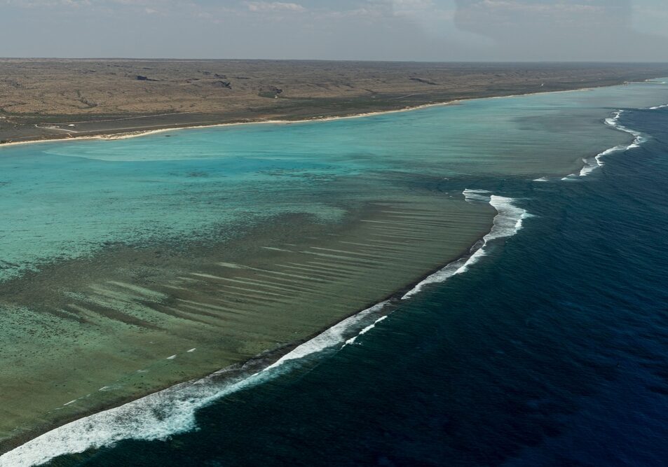
The Ridge Campground
Remote bush campground south of Coral Bay with unpowered sites and basic facilities.
Tulki Beach Campground
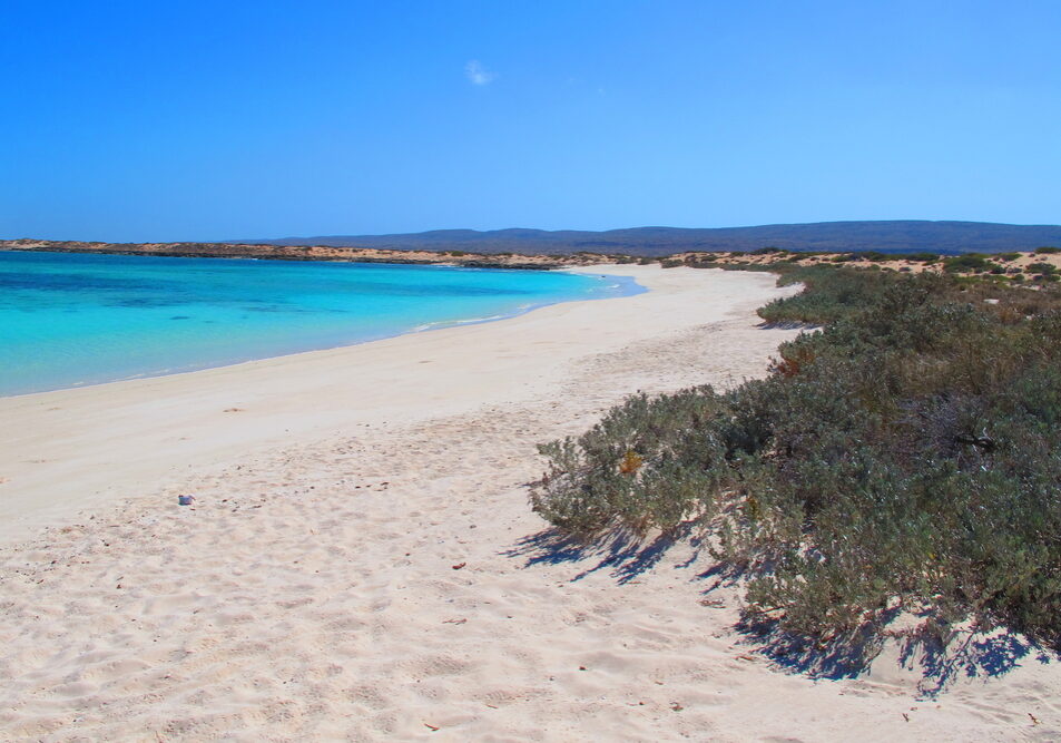
Tulki Beach Campground is a small, well-kept Cape Range National Park campground known for its peaceful feel and proximity to some of Ningaloo’s best snorkelling areas.
Not directly on the reef edge, but close enough to paddle or walk to the water with ease.
Winderabandi Point Campground
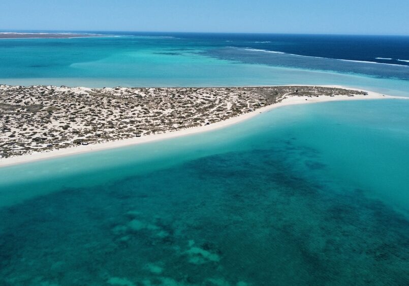
Winderabandi Point Campground is a remote beachfront campground on Ningaloo Station offering one of the most immersive reef and wildlife experiences along the coast.
Expect true off-grid camping, soft sand access and wide-open ocean views. It rewards preparation – and punishes complacency.
Yardie Creek Campground
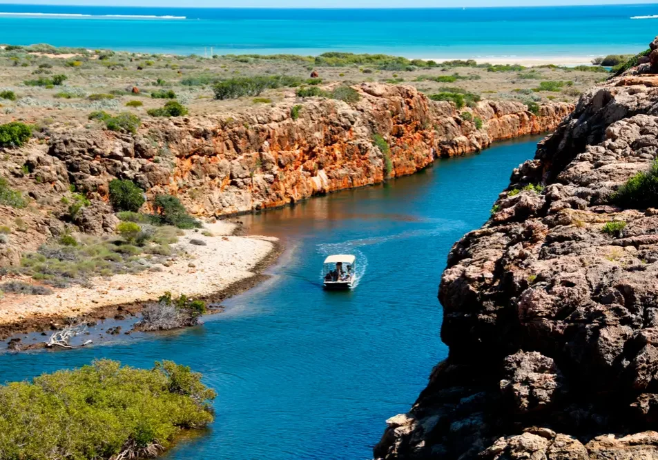
Yardie Creek Campground is a small, beachside Cape Range National Park campground near the Yardie Creek gorge walks. People rate it highly for the location, sunsets, stargazing and the camp host vibe, but it’s basic and books out fast.
Bring water, expect long-drop toilets, and plan around the creek crossing if travelling south.