
A practical guide to estimating fuel usage, price differences and real road trip costs across WA
In Western Australia, fuel pricing behaves differently depending on location.
In Perth and other large towns, prices follow a weekly cycle. Prices spike, then gradually drop over several days. Filling up on the wrong day can cost noticeably more.
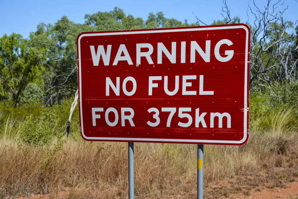
Once you leave major population centres, pricing no longer follows a cycle. Instead, prices reflect transport distance. Every kilometre the fuel travels by truck adds cost.
Typical pattern when travelling north from Perth:
| Area | Pricing Behaviour |
| Perth metro | Weekly fuel cycle, cheapest mid-week |
| Geraldton / Carnarvon | Higher than Perth |
| Coral Bay / Exmouth region | Higher again |
| Remote roadhouses | Highest prices but essential stops |
Because of this, a trip calculated using Perth prices alone will almost always be too low.
How Fuel Prices Change as You Travel North to Ningaloo Station
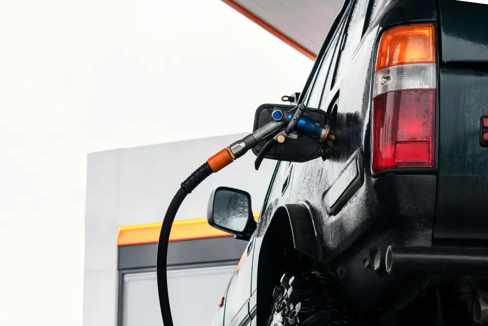
For most visitors travelling to Ningaloo Station, fuel will be the largest single expense of the trip. The drive from Perth to the Ningaloo Coast is long, remote in sections, and fuel prices increase steadily the further north you travel.
Many trip budgets underestimate this difference because they are based on city fuel prices.
Using FuelWatch Before You Leave
Western Australia operates a government service called FuelWatch which publishes tomorrow’s fuel price for every station.
This allows travellers to:
- Fill up on the cheapest day before departure
- Compare stations along the route
- Set alerts for price jumps
- Avoid paying peak cycle prices
Checking FuelWatch before leaving Perth can easily save a full tank worth of cost over the course of a Ningaloo trip.
Typical Fuel Usage for the Ningaloo Drive
The distance from Perth to the Ningaloo Coast is roughly 1,200km each way depending on destination and detours.
Fuel use varies significantly depending on vehicle and load.
| Vehicle | Typical Consumption |
| Small car | 6–8L / 100km |
| SUV | 9–12L / 100km |
| 4WD | 12–16L / 100km |
| 4WD with rooftop tent | 14–18L / 100km |
| 4WD towing camper | 16–22L / 100km |
| Caravan towing | 18–28L / 100km |
Wind, sand tracks, tyre pressure and corrugations north of Carnarvon can increase fuel usage by 20–40%.
Realistic Fuel Cost Per Kilometre
Using cost per kilometre is the easiest way to estimate a Ningaloo trip.
| Consumption | Fuel Price | Cost per km |
| 8L/100km | $2.00 | 16c/km |
| 12L/100km | $2.20 | 26c/km |
| 16L/100km | $2.40 | 38c/km |
| 20L/100km | $2.60 | 52c/km |
Estimated Return Fuel Cost – Perth to Ningaloo Coast (~2,400km)
| Vehicle Type | Estimated Fuel Cost |
| Small car | $380 – $500 |
| SUV | $520 – $750 |
| 4WD | $650 – $950 |
| 4WD towing | $1,100 – $1,600 |
These estimates assume filling partly in regional towns and partly in remote areas, which most travellers will need to do.
Why You Should Budget Higher Than City Prices
Fuel at coastal stations and roadhouses costs more because it must be transported long distances and stored in smaller volumes. This is normal for remote travel in Western Australia.
For a smoother trip:
- Fill up in major towns whenever possible
- Do not skip fuel stops north of Carnarvon
- Plan using higher fuel prices than Perth
- Keep a safety range buffer
Planning Tip
When using the trip calculator above, set your fuel price slightly higher than what you pay locally in Perth. This gives a much more realistic budget and helps avoid surprises once you reach the Ningaloo region.
Work Out Your Own Travel Costs
Every trip through Western Australia is slightly different. Vehicle type, towing weight, wind conditions, tyre pressures and where you refuel can all change the final cost significantly. Because of this, rough averages are useful for planning, but they rarely match your exact situation.
To get a more accurate estimate, it helps to calculate your own trip distance and fuel usage rather than relying on general figures.
Our Great Australian Trip Calculator lets you enter your travel distance, fuel consumption and fuel price to estimate the real cost of your journey. You can adjust the fuel price to reflect regional or remote areas and quickly see how changes in vehicle efficiency or towing affect your total budget.
This is particularly useful when planning longer drives in Western Australia, where fuel pricing varies between Perth, regional towns and remote coastal areas.
Try the calculator here: The Great Australian Travel Calculator
Using a personalised estimate alongside the planning advice above gives the most reliable idea of what your road trip will actually cost.
Want to Stay at Ningaloo station?
Use our Travel Calculator
More Locations
Check out the rest of the Locations available

14 Mile Beach Camp
14 Mile Beach Camp is a remote, off-grid beachfront campground near Coral Bay with white sand, turquoise water, big skies and epic sunsets.
It’s dog-friendly (on lead) and well-priced, but you need to arrive prepared because there are no toilets, showers, or water on site.

Boat Harbour Campground
Secluded 4WD-access campground with basic amenities near Ningaloo Marine Park.

Bruboodjoo Campground
Bruboodjoo Campground is a large, off-grid coastal camping area north of Coral Bay suited to self-contained travellers, especially fishers and boat owners.
Expect big open sites, beach launching access, and a remote feel rather than structured campground facilities.

Bungarra Campground
Bungarra Campground is a small inland campground set slightly back from the shoreline, offering a quieter and more sheltered stay than the beachfront sites.
With only a handful of camps and a short walk to the water, it suits travellers who want proximity to the coast without being directly exposed to wind and salt.

Janes Bay Campground
Janes Bay Campground is a remote coastal campsite suited to travellers who want space, simplicity and a proper off-grid stay.
There are no built facilities, just open camps, ocean views and plenty of wind. The journey in can be rough, so it’s best suited to well-prepared campers with capable vehicles and everything they need on board.

Kurrajong Campground (Cape Range)
Kurrajong Campground is a quieter Cape Range campground with easy dune access to the water, clean facilities and a laid-back feel.
It’s a solid choice for travellers who want a more peaceful base, simple amenities, and quick access to swimming and reef time.

Mesa Camp
Mesa Campground is a popular coastal campground with spacious sites, beach access and easy launching for small boats.
Facilities are simple but well maintained, and some sites have shade. Generators are permitted during set hours.

Neds Campground
Neds Campground is a small, peaceful campground tucked behind the dunes with a short walk to a quiet swimming beach and excellent sunset views.
Sites are spacious, some with tree cover, and facilities are simple but well maintained.

North Kurrajong & T-Bone Campground (Cape Range)
North Kurrajong Campground is a spacious coastal campground set just behind the dunes with easy access to reef and swimming areas.
Facilities are basic but well maintained, and the location is known for wildlife sightings, snorkelling and peaceful surroundings.
Best suited to self-sufficient travellers wanting nature, quiet and proximity to the reef rather than a serviced camping area.

North Lefroy Campground
North Lefroy is a spacious beachfront campground with large private sites and excellent access to fishing and boating.
Facilities are basic and the access track can be rough and sandy, so a capable 4WD and lowered tyre pressures are essential.

North Mandu Campground
North Mandu is a small, secluded campground with only a handful of sites tucked behind the dunes.
Facilities are simple but generally well maintained, and the location offers peaceful camping close to some of the best beaches and snorkelling areas in Cape Range.

One K Campground
One K is a quiet and remote campground suited to self-sufficient travellers looking for space and solitude.
Facilities are basic and access requires some preparation, including lowering tyre pressures before arrival.

Osprey Bay Campsite
Osprey Bay Campsite is one of the standout campgrounds on the Ningaloo coast, with big, well-spaced sites right by the water, spotless long-drop toilets, and unreal snorkelling straight off the beach.

Point Billie Campground
Point Billie Campground is a big, off-grid Ningaloo Station campground best suited to boaters and fishos, with huge sites, cracking sunsets, and plenty of wildlife. Expect wind, exposure and a rough corrugated 4WD approach.

Sal Salis Ningaloo Reef
Sal Salis offers an exclusive, eco-luxury safari camp set within the dunes of Cape Range National Park, overlooking Ningaloo Reef.
With just 16 wilderness tents and one honeymoon tent, the experience blends barefoot comfort with guided nature-based activities and all-inclusive hospitality in a remote coastal setting.

South Lefroy Bay Campground
South Lefroy Bay Campground is a seriously special Ningaloo Station beach camp with clear, calm turquoise water and reef access straight off the sand.

Stans Camp (Overflow Camp)
A basic Ningaloo Station overflow campground sitting inland from the reef line. It’s open, exposed and self-contained only, often used when nearby beachfront camps are full.

The Ridge Campground
Remote bush campground south of Coral Bay with unpowered sites and basic facilities.

Tulki Beach Campground
Tulki Beach Campground is a small, well-kept Cape Range National Park campground known for its peaceful feel and proximity to some of Ningaloo’s best snorkelling areas.
Not directly on the reef edge, but close enough to paddle or walk to the water with ease.

Winderabandi Point Campground
Winderabandi Point Campground is a remote beachfront campground on Ningaloo Station offering one of the most immersive reef and wildlife experiences along the coast.
Expect true off-grid camping, soft sand access and wide-open ocean views. It rewards preparation – and punishes complacency.

Yardie Creek Campground
Yardie Creek Campground is a small, beachside Cape Range National Park campground near the Yardie Creek gorge walks. People rate it highly for the location, sunsets, stargazing and the camp host vibe, but it’s basic and books out fast.
Bring water, expect long-drop toilets, and plan around the creek crossing if travelling south.